



7天乞力马扎罗徒步

- 伦多罗西门
- 希拉
- 巴兰科
- 巴拉富
- 乌呼鲁峰
概览
被认为是乞力马扎罗最美的路线之一。
每条行程都可定制,住宿可选经济、中档或豪华。
行程安排

第 1 天
朗多罗西门至莱莫肖大树营地
在朗多罗西门登记,驱车穿过农田抵达莱莫肖起点,沿轻松的森林小径走到营地。
第 2 天
希拉一号营地
离开森林进入长满巨型石楠的荒原,稳步攀升至希拉高原边缘,再横穿部分高原抵达营地。
第 3 天
熔岩塔至大巴兰科山谷
上午爬升,在熔岩塔岔路口附近午餐,然后下至大巴兰科山谷谷底,营地由悬崖环绕。
第 4 天
巴兰科墙至卡兰加营地
攀爬陡峭的巴兰科墙,然后沿基博东南侧前进,眺望南部冰原,抵达登顶前最后一个水源点卡兰加。
第 5 天
卡兰加至巴拉富营地
沿压实的碎石路轻松前往巴拉富,并进行一次上至 4,800 米的短途适应性徒步。冲顶前早点休息。
第 6 天
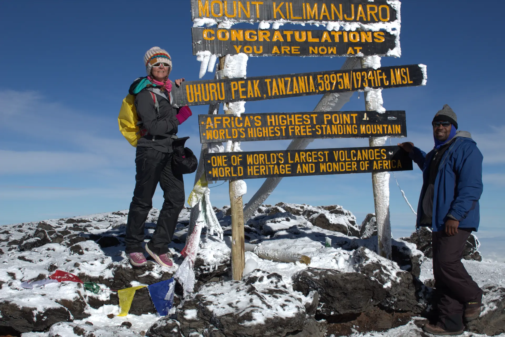
登顶日:乌呼鲁峰
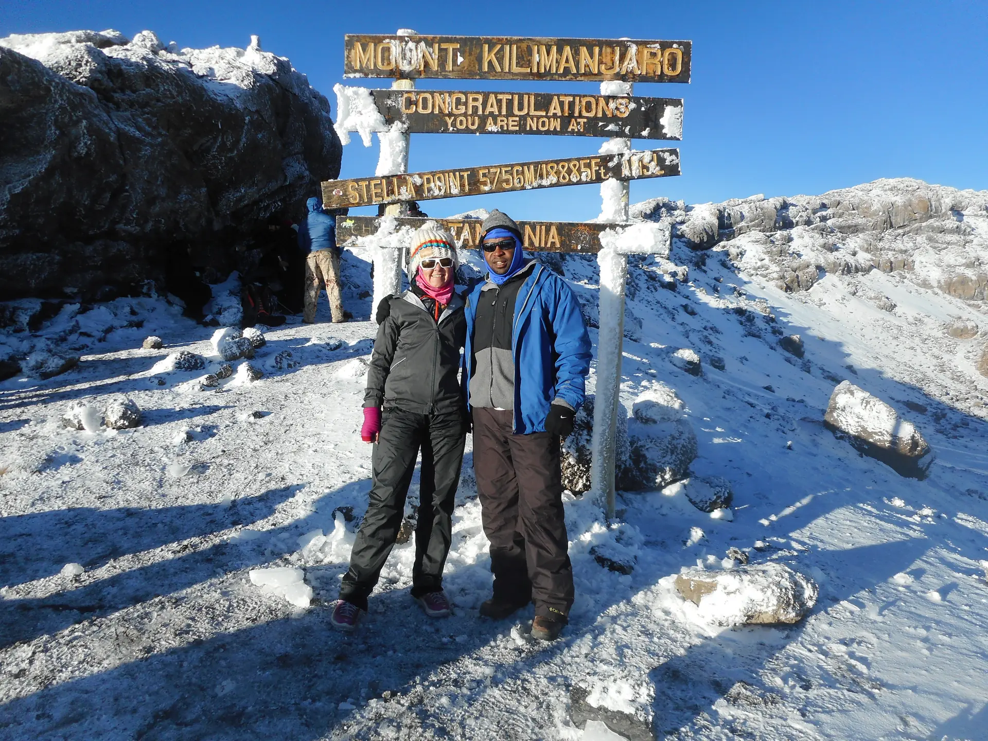
凌晨 1 点左右戴头灯出发,日出时抵达斯特拉点(5,735 米),体力充沛者继续前往乌呼鲁峰。随后下撤至千禧营地。
第 7 天
下山至姆韦卡门
穿过森林长距离下山至姆韦卡门,再穿过咖啡和香蕉种植园抵达姆韦卡村。
费用包含与不含的项目将在书面报价中确认。
信任与公司信息
- 办公室: P.O. Box 2071, Njiro Road, Arusha, Tanzania
合作伙伴
- Tanzania Local Tour Operators (TLTO)
- Tanzania Association of Tour Operators (TATO)
- Tanzania Tourist Board (TTB)
- Tanzania National Parks (TANAPA)
- Kilimanjaro Search and Rescue
- Flying Doctors Society of Africa
- SafariBookings
- Kilimanjaro Review
常见问题
我需要攀登技能吗?
不需要。乞力马扎罗山是徒步而非技术攀登,无需特殊装备或攀登技能。但您需要体能良好。
有多少人能登顶?
在七天的马查梅路线上,我们超过95%的参与者登顶,这得益于多出的一天适应日和周密的计划。较短路线的成功率较低。
需要保险吗?
需要。攀登需要办理全面的旅行和医疗保险。
小费包含在内吗?
不包含。给向导、挑夫和厨师的小费是惯例,不包含在价格中。
登山之后可以加上游猎或桑给巴尔吗?
可以。这是很受欢迎的组合,我们会为您规划完整的行程。请查看我们的游猎加乞力马扎罗和游猎加桑给巴尔页面。
更多行程
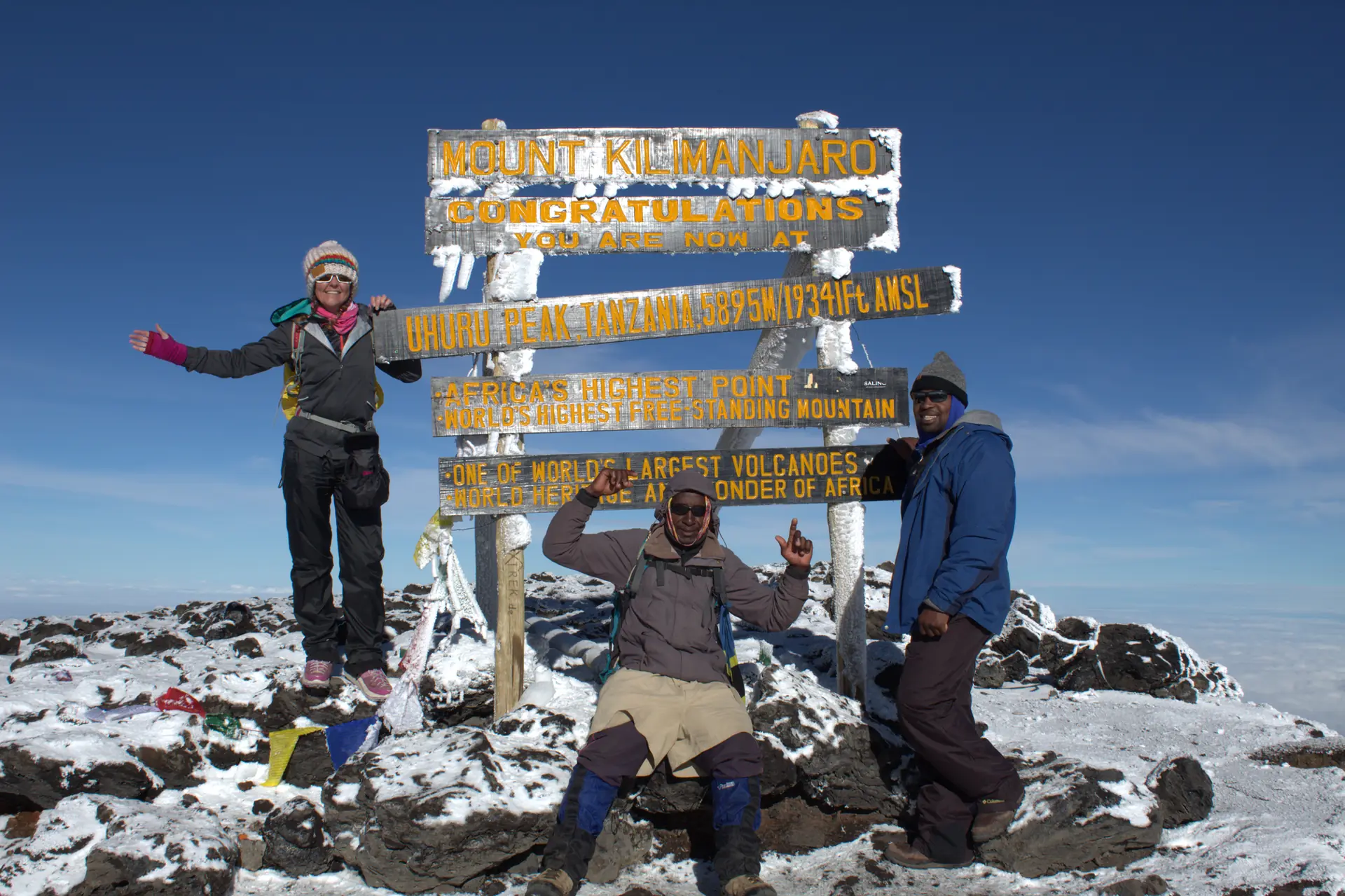
5天乞力马扎罗徒步
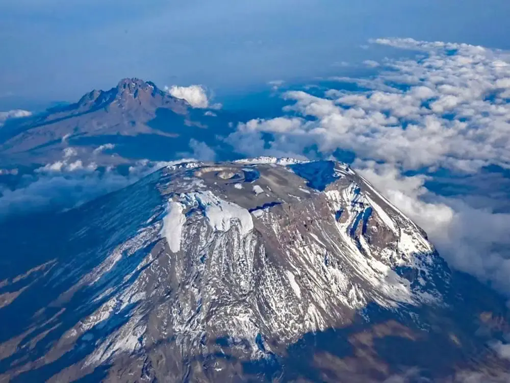
12天组合行程
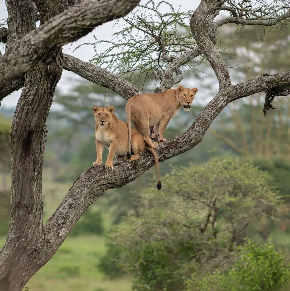
4天野生动物游猎
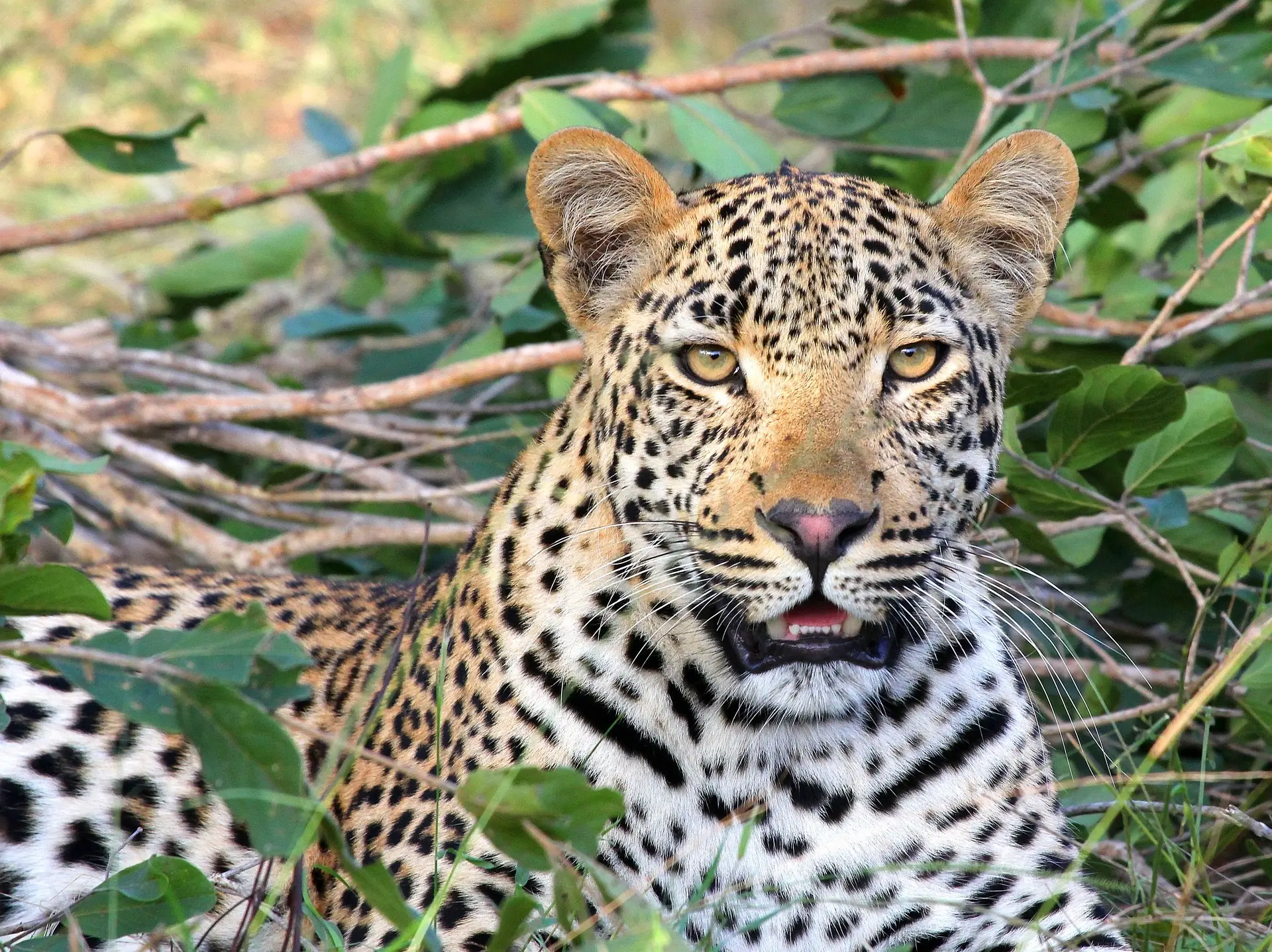
3天野生动物游猎
6天野生动物游猎
更多详情
此内容仅提供英文版。

Climbing Program Summary
This is regarded as one of the prettiest route on Kilimanjaro. We begin trekking in the thick, fertile rainforest until we reach the wildflowers and shrubs of the heath ecosystem. Approaching from the west, we cross one of most beautiful areas on Kilimanjaro, the vast Shira Plateau, before traversing the mountain along the southern circuit. The Lemosho route is for those with previous backpacking experience.

Climbing Program Details by Day
Day 1: Registration at Londorossi Walking Through Farmland to Lemosho Big Tree C amp (2,650 m); [2-3 hours walking]
After completing the necessary registration formalities at Londorossi National Park gate, we drive through varied farmland with open views over the plains to reach the Lemosho road head. The last section of the road is of poor quality and difficult to drive after rain, sometimes we start walking a kilometer or two below the road head. We often have our lunch at the road head before starting to walk. It is an easy day of walking up a small path through beautiful and lush forest. We camp at Lemosho Big Tree C amp (2,650 m); [2-3 hours walking]
Day 2: Traversing Part of Shira Plateau to Shira One Camp (3,550 m) [6-8 hours walking]
We soon leave the forest behind and enter the moorland zone of giant heather. The trail climbs steadily with wide views to reach the rim of the Shira Plateau . There is a tangible sense of wilderness, especially if afternoon mists come in! We walk part way across the plateau to Shira One Camp (3,550 m) [6-8 hours walking]
Day 3: Trek Through Lava Tower Junction (4,550 m.) to Great Barranco valley (3,900 m); [7-9 hours walking]
A morning of sustained ascent and panoramic views brings us to lunch near the Lava Tower junction (4,550 m.). The trail then descends to the bottom of the Great Barranco valley (3,900 m); another spectacular campsite sheltered by towering cliffs and with extensive views of the plains far below. [7-9 hours walking]
Day 4: Trekking Through Barranco Wall to Karanga Campsite (4,000 m) [4-5 hours walking]
A steep climb up the Barranco Wall leads us to an undulating trail on the south-eastern flank of Kibo, with superb vistas of the Southern Icefields. The terrain changes to scree, with pockets of lush vegetation in sheltered hollows, and there is only a short distance to our camp at Karanga (4,000 m), the last water point on the way to the summit. [4-5 hours walking]
Day 5: Trek to Barafu campsite (4,600 m), South-East valley (4,800 m) [3-5 hours walking]
We follow an easy path on compacted scree with wide views that gains altitude unrelentingly to reach the Barafu campsite (4,600 m) for lunch. There is a short acclimatization walk to the plateau at the bottom of the South-East valley (4,800 m). The remainder of the day is spent resting in preparation for the final ascent before a very early night. [3-5 hours walking]
Day 6: Trek to Uhuru Peak (5,896 m) then descend to Millennium Camp (3,800 m). [10-15 hours walking]
We will start our ascent by torchlight at about 1 a.m. so that we can be up on the Crater rim by sunrise. The steep climb over loose volcanic scree has some well-graded zig-zags and a slow but steady pace will take us to Stella Point (5,735 m), in about five or six hours. We will rest there for a short time to enjoy the sunrise over Mawenzi. Those who are still feeling strong can make the two hour round trip from here along the crater rim to Uhuru Peak (5,896 m), passing close to the spectacular glaciers and ice cliffs that still occupy most of the summit area. The descent to Barafu is surprisingly fast, and after some refreshment, we continue to descend to reach Millennium Camp (3,800 m). [10-15 hours walking]
Day 7: Steady Descend to Mweka Gate (1,650 m) [4-6 hours walking]
A sustained descent through lovely forest with lush undergrowth takes us to the National Park gate at Mweka (1,650 m); and on through coffee and banana farms to Mweka village. [4-6 hours walking]